Converted Units on Lower Hollin Bank Street, Blackburn
Introduction
The photograph on this page of Converted Units on Lower Hollin Bank Street, Blackburn by Chris Heaton as part of the Geograph project.
The Geograph project started in 2005 with the aim of publishing, organising and preserving representative images for every square kilometre of Great Britain, Ireland and the Isle of Man.

There are currently over 7.5m images from over 14,400 individuals and you can help contribute to the project by visiting https://www.geograph.org.uk
Converted Units on Lower Hollin Bank Street, Blackburn
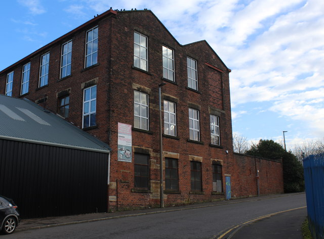
Image: © Chris Heaton Taken: 8 Jan 2020
Converted mill or warehouse. Now used as business units including Martial Arts classes and a Dart Zone
Images are licensed for reuse under creativecommons.org/licenses/by-sa/2.0
Image Location
Latitude
53.738565
Longitude
-2.489038