Muirton Canal Basin
Introduction
The photograph on this page of Muirton Canal Basin by valenta as part of the Geograph project.
The Geograph project started in 2005 with the aim of publishing, organising and preserving representative images for every square kilometre of Great Britain, Ireland and the Isle of Man.

There are currently over 7.5m images from over 14,400 individuals and you can help contribute to the project by visiting https://www.geograph.org.uk
Muirton Canal Basin
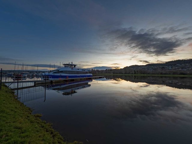
Image: © valenta Taken: 14 Dec 2019
The Loch Ness tour boat 'Jacobite Maverick' moored on the marina following the end of the tourist season
Images are licensed for reuse under creativecommons.org/licenses/by-sa/2.0
Image Location
Latitude
57.486735
Longitude
-4.250107