Chadderton Bowling Green
Introduction
The photograph on this page of Chadderton Bowling Green by Roger May as part of the Geograph project.
The Geograph project started in 2005 with the aim of publishing, organising and preserving representative images for every square kilometre of Great Britain, Ireland and the Isle of Man.

There are currently over 7.5m images from over 14,400 individuals and you can help contribute to the project by visiting https://www.geograph.org.uk
Chadderton Bowling Green
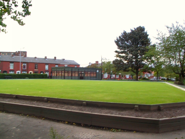
Image: © Roger May Taken: 10 Oct 2005
Well-manicured green at the bottom of Burnley Lane, Chadderton. Opposite the Rifle Range pub.
Images are licensed for reuse under creativecommons.org/licenses/by-sa/2.0
Image Location


Leaflet Map data © OpenStreetMap
Latitude
53.553246
Longitude
-2.140336