The ruins of Felin Fawr, Marian Mill
Introduction
The photograph on this page of The ruins of Felin Fawr, Marian Mill by Eirian Evans as part of the Geograph project.
The Geograph project started in 2005 with the aim of publishing, organising and preserving representative images for every square kilometre of Great Britain, Ireland and the Isle of Man.

There are currently over 7.5m images from over 14,400 individuals and you can help contribute to the project by visiting https://www.geograph.org.uk
The ruins of Felin Fawr, Marian Mill
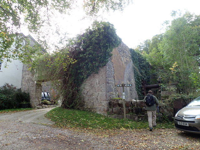
Image: © Eirian Evans Taken: 17 Oct 2019
The remains of the hub of its huge wheel can still be seen sticking out from the right hand wall. The mill, one of about seven in this area, was fed by Ffynnon Asa which joins Afon Ffyddion a little lower down. Offa's Dyke Path is signposted here.
Images are licensed for reuse under creativecommons.org/licenses/by-sa/2.0
Image Location
Latitude
53.301248
Longitude
-3.392617