Wandle Trail near Merton
Introduction
The photograph on this page of Wandle Trail near Merton by Malc McDonald as part of the Geograph project.
The Geograph project started in 2005 with the aim of publishing, organising and preserving representative images for every square kilometre of Great Britain, Ireland and the Isle of Man.

There are currently over 7.5m images from over 14,400 individuals and you can help contribute to the project by visiting https://www.geograph.org.uk
Wandle Trail near Merton
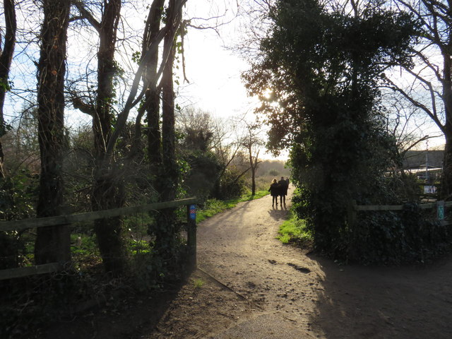
Image: © Malc McDonald Taken: 4 Jan 2020
This path forms part of the Wandle Trail. The small blue sign on the fencepost indicates that it is also part of National Cycle Network route 20. This image was taken on a sunny day in early January. The trees were bare, the sun was low in the sky and shadows were long.
Images are licensed for reuse under creativecommons.org/licenses/by-sa/2.0
Image Location
Latitude
51.408475
Longitude
-0.184597