Crynant/Y Creunant boundary sign
Introduction
The photograph on this page of Crynant/Y Creunant boundary sign by Jaggery as part of the Geograph project.
The Geograph project started in 2005 with the aim of publishing, organising and preserving representative images for every square kilometre of Great Britain, Ireland and the Isle of Man.

There are currently over 7.5m images from over 14,400 individuals and you can help contribute to the project by visiting https://www.geograph.org.uk
Crynant/Y Creunant boundary sign
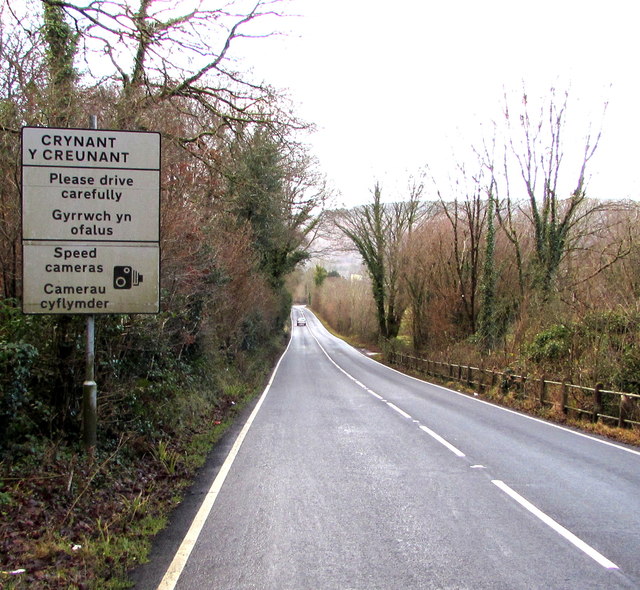
Image: © Jaggery Taken: 3 Jan 2020
English/Welsh sign alongside the A4109. The Seven Sisters/Blaendulais boundary sign https://www.geograph.org.uk/photo/6359620 is behind the camera.
Images are licensed for reuse under creativecommons.org/licenses/by-sa/2.0
Image Location
Latitude
51.748896
Longitude
-3.733457