Farm track, Haverah Park
Introduction
The photograph on this page of Farm track, Haverah Park by Stephen Craven as part of the Geograph project.
The Geograph project started in 2005 with the aim of publishing, organising and preserving representative images for every square kilometre of Great Britain, Ireland and the Isle of Man.

There are currently over 7.5m images from over 14,400 individuals and you can help contribute to the project by visiting https://www.geograph.org.uk
Farm track, Haverah Park
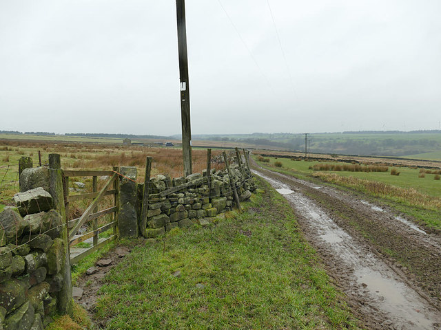
Image: © Stephen Craven Taken: 27 Dec 2019
The track leads to the ruins of a group of farm buildings in the north-west corner of the square. See Image for the gateway to the left.
Images are licensed for reuse under creativecommons.org/licenses/by-sa/2.0
Image Location
Latitude
53.980862
Longitude
-1.63111