View north towards the estuary of the Afon Teifi
Introduction
The photograph on this page of View north towards the estuary of the Afon Teifi by Mat Fascione as part of the Geograph project.
The Geograph project started in 2005 with the aim of publishing, organising and preserving representative images for every square kilometre of Great Britain, Ireland and the Isle of Man.

There are currently over 7.5m images from over 14,400 individuals and you can help contribute to the project by visiting https://www.geograph.org.uk
View north towards the estuary of the Afon Teifi
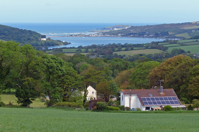
Image: © Mat Fascione Taken: 3 Jun 2019
The River Teifi (Afon Teifi) has a total length of 73 miles (117 km). It forms the boundary for most of its length between the counties of Ceredigion and Carmarthenshire, and for the final 3 miles (4.8 km), the boundary between Ceredigion and Pembrokeshire. It flows into Cardigan Bay at the town of Cardigan (Aberteifi).
Images are licensed for reuse under creativecommons.org/licenses/by-sa/2.0
Image Location
Latitude
52.07085
Longitude
-4.669273