Lockeridge buildings [1]
Introduction
The photograph on this page of Lockeridge buildings [1] by Michael Dibb as part of the Geograph project.
The Geograph project started in 2005 with the aim of publishing, organising and preserving representative images for every square kilometre of Great Britain, Ireland and the Isle of Man.

There are currently over 7.5m images from over 14,400 individuals and you can help contribute to the project by visiting https://www.geograph.org.uk
Lockeridge buildings [1]
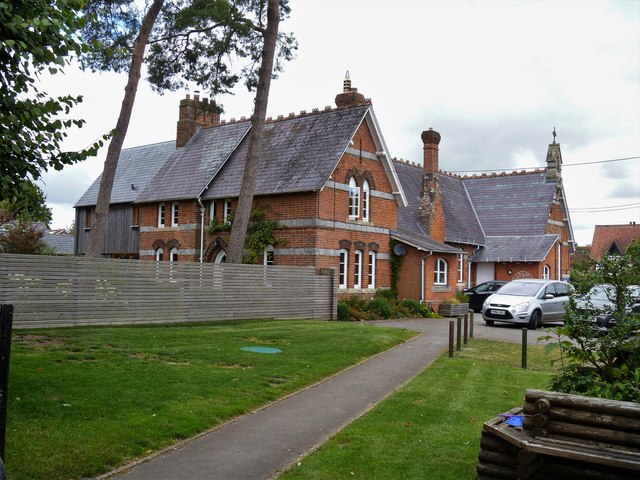
Image: © Michael Dibb Taken: 2 Sep 2019
The buildings house the Kennet Valley CofE Aided Primary School. Lockeridge has evidence of occupation since the Stone Age including Roman, and the village is in the Domesday Book of 1086. It expanded from a hamlet to a village in the 1870s when Sir Henry Meux sited his estate office yard there. Estate houses, a school and a public house were built at the same time.
Images are licensed for reuse under creativecommons.org/licenses/by-sa/2.0
Image Location


Leaflet Map data © OpenStreetMap
Latitude
51.408945
Longitude
-1.789608