Harold Road, Abergavenny
Introduction
The photograph on this page of Harold Road, Abergavenny by Jaggery as part of the Geograph project.
The Geograph project started in 2005 with the aim of publishing, organising and preserving representative images for every square kilometre of Great Britain, Ireland and the Isle of Man.

There are currently over 7.5m images from over 14,400 individuals and you can help contribute to the project by visiting https://www.geograph.org.uk
Harold Road, Abergavenny
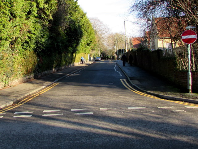
Image: © Jaggery Taken: 29 Dec 2019
Viewed across Chapel Road. Harold Road extends for 150 metres to Avenue Road. Cantref Primary School is on the right.
Images are licensed for reuse under creativecommons.org/licenses/by-sa/2.0
Image Location
Latitude
51.827415
Longitude
-3.0273