Lane near Eccles Pike
Introduction
The photograph on this page of Lane near Eccles Pike by Dave Dunford as part of the Geograph project.
The Geograph project started in 2005 with the aim of publishing, organising and preserving representative images for every square kilometre of Great Britain, Ireland and the Isle of Man.

There are currently over 7.5m images from over 14,400 individuals and you can help contribute to the project by visiting https://www.geograph.org.uk
Lane near Eccles Pike
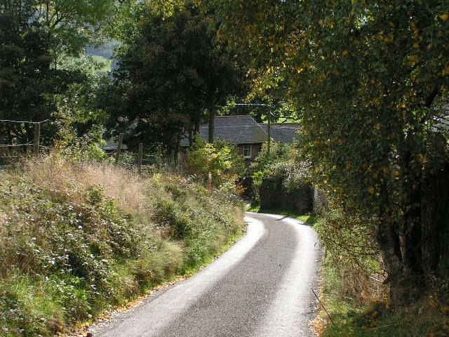
Image: © Dave Dunford Taken: 9 Oct 2005
Looking southwest along the lane from Buxworth, as it approaches the junction of lanes near Hilltop SK027808. This is just below the "double arrow" on the map, indicating a gradient steeper than 1 in 5. Understandably, the lane is signposted "unsuitable for lorries".
Images are licensed for reuse under creativecommons.org/licenses/by-sa/2.0
Image Location


Leaflet Map data © OpenStreetMap
Latitude
53.324654
Longitude
-1.959425