Woodland ford, Cwm Ffrwd
Introduction
The photograph on this page of Woodland ford, Cwm Ffrwd by Natasha Ceridwen de Chroustchoff as part of the Geograph project.
The Geograph project started in 2005 with the aim of publishing, organising and preserving representative images for every square kilometre of Great Britain, Ireland and the Isle of Man.

There are currently over 7.5m images from over 14,400 individuals and you can help contribute to the project by visiting https://www.geograph.org.uk
Woodland ford, Cwm Ffrwd
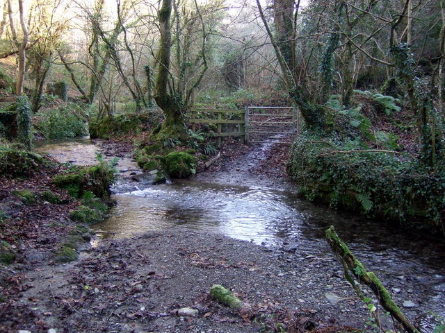
Image: © Natasha Ceridwen de Chroustchoff Taken: 16 Dec 2007
The bridleway through the upper part of Cwm Ffrwd crosses over the Afon Piliau, a tributary of the Teifi to the north.
Images are licensed for reuse under creativecommons.org/licenses/by-sa/2.0
Image Location
Latitude
52.030804
Longitude
-4.678404