The Twizell Burn
Introduction
The photograph on this page of The Twizell Burn by Robert Graham as part of the Geograph project.
The Geograph project started in 2005 with the aim of publishing, organising and preserving representative images for every square kilometre of Great Britain, Ireland and the Isle of Man.

There are currently over 7.5m images from over 14,400 individuals and you can help contribute to the project by visiting https://www.geograph.org.uk
The Twizell Burn
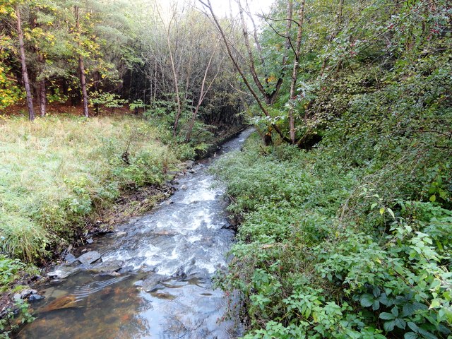
Image: © Robert Graham Taken: 14 Oct 2019
Flowing through Grange Plantation at Pelton Fell. Flowing strongly after recent heavy rain.
Images are licensed for reuse under creativecommons.org/licenses/by-sa/2.0
Image Location
Latitude
54.861473
Longitude
-1.620473