A6055 at Farnham Lane
Introduction
The photograph on this page of A6055 at Farnham Lane by Derek Harper as part of the Geograph project.
The Geograph project started in 2005 with the aim of publishing, organising and preserving representative images for every square kilometre of Great Britain, Ireland and the Isle of Man.

There are currently over 7.5m images from over 14,400 individuals and you can help contribute to the project by visiting https://www.geograph.org.uk
A6055 at Farnham Lane
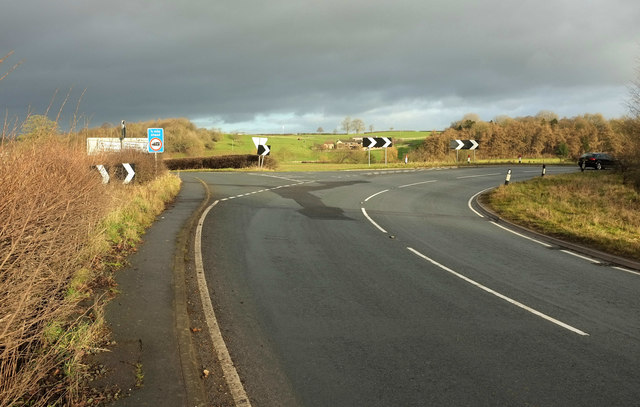
Image: © Derek Harper Taken: 23 Dec 2019
The Boroughbridge Road swings right here, with Farnham Lane continuing to the left. Image] was taken from the gateway in the centre; Gibbet Farm can be seen.
Images are licensed for reuse under creativecommons.org/licenses/by-sa/2.0
Image Location
Latitude
54.027225
Longitude
-1.460797