Frenches Road
Introduction
The photograph on this page of Frenches Road by Ian Capper as part of the Geograph project.
The Geograph project started in 2005 with the aim of publishing, organising and preserving representative images for every square kilometre of Great Britain, Ireland and the Isle of Man.

There are currently over 7.5m images from over 14,400 individuals and you can help contribute to the project by visiting https://www.geograph.org.uk
Frenches Road
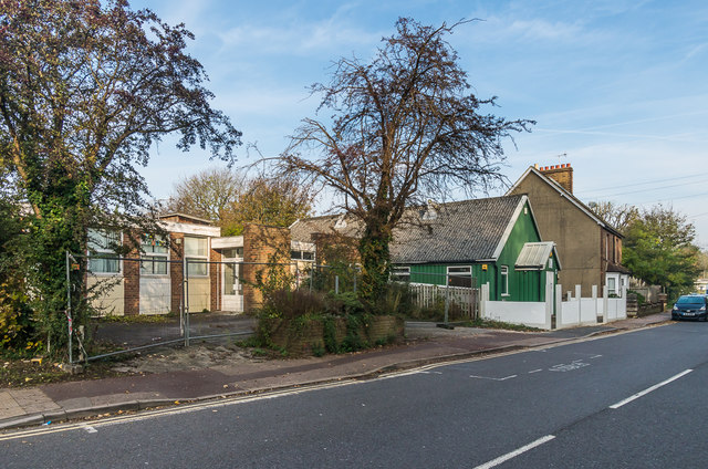
Image: © Ian Capper Taken: 31 Oct 2019
Buildings in Frenches Road. On the left is the Frenches Lodge, a former Surrey County Council day centre, catering for adults with physical disabilities, closed in 2015 due to relocation (see Image) and beyond is Masjid ul-Emaan, an Islamic community education centre (see Image).
Images are licensed for reuse under creativecommons.org/licenses/by-sa/2.0
Image Location
Latitude
51.252205
Longitude
-0.158472