A field access track, Tiree
Introduction
The photograph on this page of A field access track, Tiree by Richard Webb as part of the Geograph project.
The Geograph project started in 2005 with the aim of publishing, organising and preserving representative images for every square kilometre of Great Britain, Ireland and the Isle of Man.

There are currently over 7.5m images from over 14,400 individuals and you can help contribute to the project by visiting https://www.geograph.org.uk
A field access track, Tiree
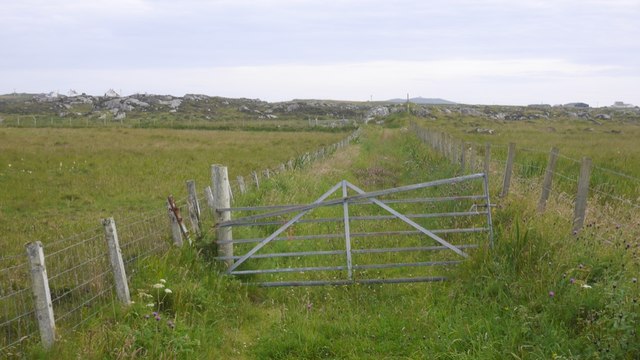
Image: © Richard Webb Taken: 4 Aug 2019
Or more probably a way on to the unimproved rocky interior.
Images are licensed for reuse under creativecommons.org/licenses/by-sa/2.0
Image Location


Leaflet Map data © OpenStreetMap
Latitude
56.520607
Longitude
-6.905245