Braunstone Lane passing Highway Spinney
Introduction
The photograph on this page of Braunstone Lane passing Highway Spinney by Luke Shaw as part of the Geograph project.
The Geograph project started in 2005 with the aim of publishing, organising and preserving representative images for every square kilometre of Great Britain, Ireland and the Isle of Man.

There are currently over 7.5m images from over 14,400 individuals and you can help contribute to the project by visiting https://www.geograph.org.uk
Braunstone Lane passing Highway Spinney
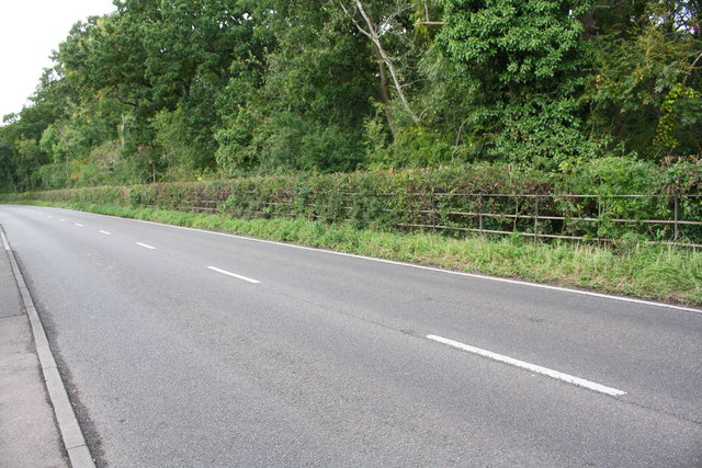
Image: © Luke Shaw Taken: 11 Sep 2018
Ordnance Survey documents indicate that in 1964 a rivet benchmark levelled at 95.735m above Newlyn Datum was placed on a small rock at the fence line on the right hand side of the road.
Images are licensed for reuse under creativecommons.org/licenses/by-sa/2.0
Image Location
Latitude
52.625908
Longitude
-1.197037