Field barn beside the B6479
Introduction
The photograph on this page of Field barn beside the B6479 by Bill Harrison as part of the Geograph project.
The Geograph project started in 2005 with the aim of publishing, organising and preserving representative images for every square kilometre of Great Britain, Ireland and the Isle of Man.

There are currently over 7.5m images from over 14,400 individuals and you can help contribute to the project by visiting https://www.geograph.org.uk
Field barn beside the B6479
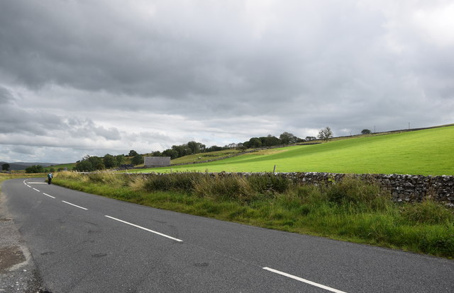
Image: © Bill Harrison Taken: 6 Aug 2019
Unlike many, this one is not named on the 1907 25-inch OS map.
Images are licensed for reuse under creativecommons.org/licenses/by-sa/2.0
Image Location
Latitude
54.165591
Longitude
-2.325125