Attwood Place, Harley-Bakewell
Introduction
The photograph on this page of Attwood Place, Harley-Bakewell by Chris Allen as part of the Geograph project.
The Geograph project started in 2005 with the aim of publishing, organising and preserving representative images for every square kilometre of Great Britain, Ireland and the Isle of Man.

There are currently over 7.5m images from over 14,400 individuals and you can help contribute to the project by visiting https://www.geograph.org.uk
Attwood Place, Harley-Bakewell
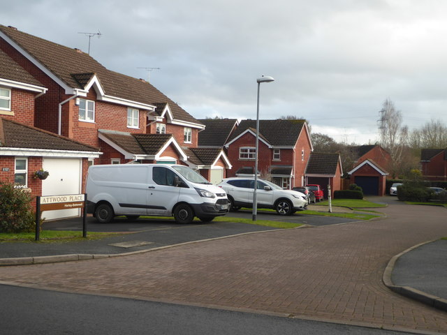
Image: © Chris Allen Taken: 22 Dec 2019
Seen from Lister avenue. The streets in Harley-Bakewell appear to be named after indviduals but I don't know if there is a thread linking them all. The street name signs in Warndon Villages all indicate which subdivision they are in - this is Harley-Bakewell.
Images are licensed for reuse under creativecommons.org/licenses/by-sa/2.0
Image Location
Latitude
52.19644
Longitude
-2.171275