Coventry Canal, Bishopgate Green
Introduction
The photograph on this page of Coventry Canal, Bishopgate Green by E Gammie as part of the Geograph project.
The Geograph project started in 2005 with the aim of publishing, organising and preserving representative images for every square kilometre of Great Britain, Ireland and the Isle of Man.

There are currently over 7.5m images from over 14,400 individuals and you can help contribute to the project by visiting https://www.geograph.org.uk
Coventry Canal, Bishopgate Green
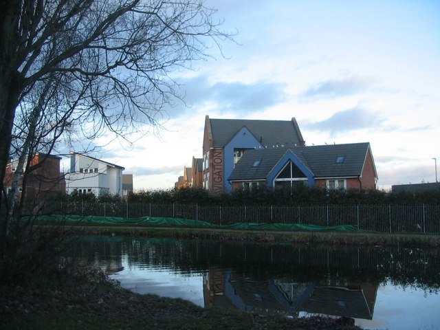
Image: © E Gammie Taken: 23 Dec 2019
The houses are on The Moorings, part of the City Wharf development, constructed in 2014 (Image) on the site of a former council depot.
Images are licensed for reuse under creativecommons.org/licenses/by-sa/2.0
Image Location
Latitude
52.41617
Longitude
-1.509762