Track Through Norley Inclosure
Introduction
The photograph on this page of Track Through Norley Inclosure by Nigel Mykura as part of the Geograph project.
The Geograph project started in 2005 with the aim of publishing, organising and preserving representative images for every square kilometre of Great Britain, Ireland and the Isle of Man.

There are currently over 7.5m images from over 14,400 individuals and you can help contribute to the project by visiting https://www.geograph.org.uk
Track Through Norley Inclosure
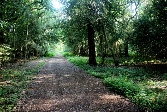
Image: © Nigel Mykura Taken: 8 Jun 2019
This is just north of the village of Norleywood and the track leads through the inclosure to the B3051 on the other side of the woods.
Images are licensed for reuse under creativecommons.org/licenses/by-sa/2.0
Image Location
Latitude
50.77933
Longitude
-1.498699