Brighouse Footpath 64 (east branch)
Introduction
The photograph on this page of Brighouse Footpath 64 (east branch) by Humphrey Bolton as part of the Geograph project.
The Geograph project started in 2005 with the aim of publishing, organising and preserving representative images for every square kilometre of Great Britain, Ireland and the Isle of Man.

There are currently over 7.5m images from over 14,400 individuals and you can help contribute to the project by visiting https://www.geograph.org.uk
Brighouse Footpath 64 (east branch)
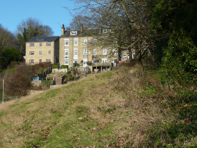
Image: © Humphrey Bolton Taken: 9 Dec 2019
Looking towards Mill Hill Lane and the houses along Clog Sole Road.
Images are licensed for reuse under creativecommons.org/licenses/by-sa/2.0
Image Location
Latitude
53.708559
Longitude
-1.794837