Fortrose Fire Station
Introduction
The photograph on this page of Fortrose Fire Station by valenta as part of the Geograph project.
The Geograph project started in 2005 with the aim of publishing, organising and preserving representative images for every square kilometre of Great Britain, Ireland and the Isle of Man.

There are currently over 7.5m images from over 14,400 individuals and you can help contribute to the project by visiting https://www.geograph.org.uk
Fortrose Fire Station
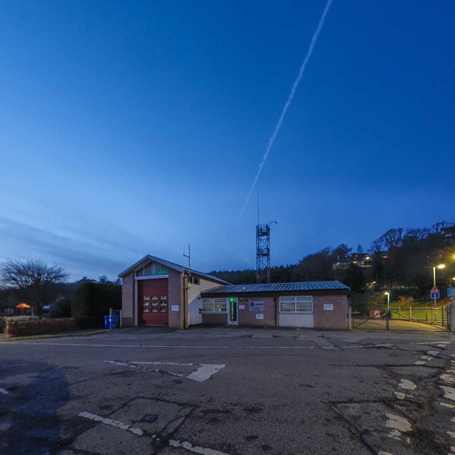
Image: © valenta Taken: 30 Nov 2019
Located at the junction of Station Crescent and Station Road, an aircraft contrail visible in the dusk sky
Images are licensed for reuse under creativecommons.org/licenses/by-sa/2.0
Image Location
Latitude
57.58213
Longitude
-4.132709