Tilled field, Upcott Farm
Introduction
The photograph on this page of Tilled field, Upcott Farm by Derek Harper as part of the Geograph project.
The Geograph project started in 2005 with the aim of publishing, organising and preserving representative images for every square kilometre of Great Britain, Ireland and the Isle of Man.

There are currently over 7.5m images from over 14,400 individuals and you can help contribute to the project by visiting https://www.geograph.org.uk
Tilled field, Upcott Farm
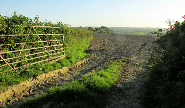
Image: © Derek Harper Taken: 4 May 2019
From the public access route / green lane to Woolstone where it makes sharp turn just west of the farm.
Images are licensed for reuse under creativecommons.org/licenses/by-sa/2.0
Image Location


Leaflet Map data © OpenStreetMap
Latitude
51.026998
Longitude
-4.002004