The Croft, Symington
Introduction
The photograph on this page of The Croft, Symington by Jim Barton as part of the Geograph project.
The Geograph project started in 2005 with the aim of publishing, organising and preserving representative images for every square kilometre of Great Britain, Ireland and the Isle of Man.

There are currently over 7.5m images from over 14,400 individuals and you can help contribute to the project by visiting https://www.geograph.org.uk
The Croft, Symington
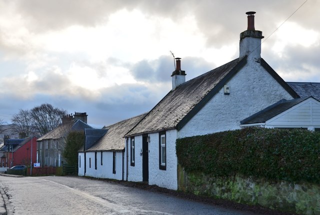
Image: © Jim Barton Taken: 17 Dec 2019
One of the older properties in the village, still showing the original layout of the cottage with byre and hayloft alongside, as noted in 'Village Trails in Clydesdale and Tweeddale' by Rosemary Turpie and Ian Gilchrist (Quothquan Trails 2015).
Images are licensed for reuse under creativecommons.org/licenses/by-sa/2.0
Image Location
Latitude
55.596566
Longitude
-3.591661