Dewatered Caledonian Canal Basin
Introduction
The photograph on this page of Dewatered Caledonian Canal Basin by valenta as part of the Geograph project.
The Geograph project started in 2005 with the aim of publishing, organising and preserving representative images for every square kilometre of Great Britain, Ireland and the Isle of Man.

There are currently over 7.5m images from over 14,400 individuals and you can help contribute to the project by visiting https://www.geograph.org.uk
Dewatered Caledonian Canal Basin
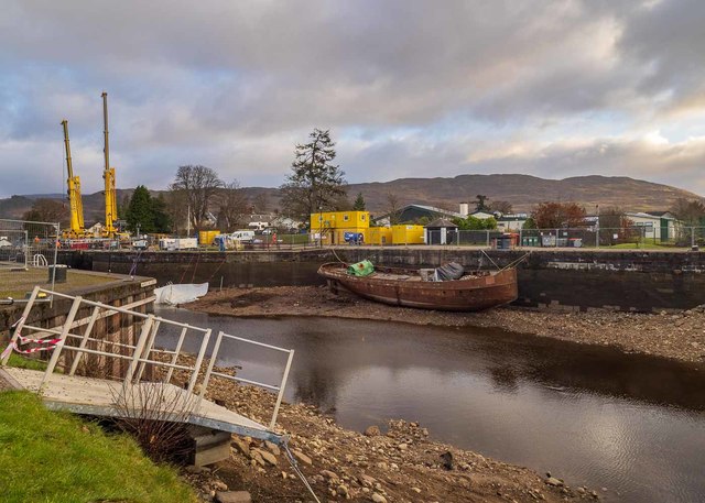
Image: © valenta Taken: 28 Nov 2019
Ongoing winter works where the canal lock gates are being renewed
Images are licensed for reuse under creativecommons.org/licenses/by-sa/2.0
Image Location
Latitude
57.144413
Longitude
-4.6867