Footpath, Wick
Introduction
The photograph on this page of Footpath, Wick by Derek Harper as part of the Geograph project.
The Geograph project started in 2005 with the aim of publishing, organising and preserving representative images for every square kilometre of Great Britain, Ireland and the Isle of Man.

There are currently over 7.5m images from over 14,400 individuals and you can help contribute to the project by visiting https://www.geograph.org.uk
Footpath, Wick
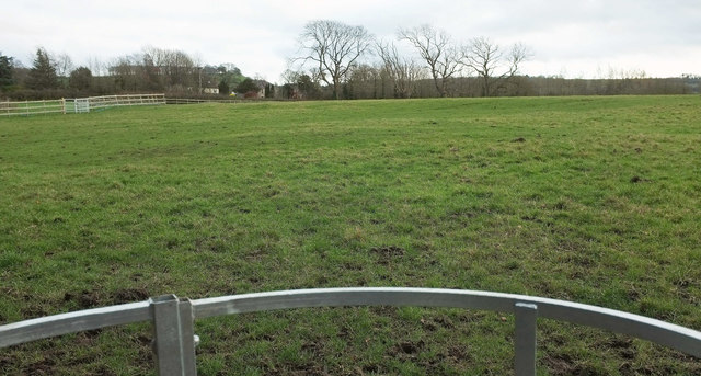
Image: © Derek Harper Taken: 7 Dec 2019
Footpath LWA 56/10 is only 174 metres long, and most of it is covered, if you forgive the extreme gloom, here and in Image], which shows on the right the gate visible across to the left in this image. Image] shows where the path begs behind the camera.
Images are licensed for reuse under creativecommons.org/licenses/by-sa/2.0
Image Location


Leaflet Map data © OpenStreetMap
Latitude
51.45073
Longitude
-2.420159