Track, Lilliput Farm
Introduction
The photograph on this page of Track, Lilliput Farm by Derek Harper as part of the Geograph project.
The Geograph project started in 2005 with the aim of publishing, organising and preserving representative images for every square kilometre of Great Britain, Ireland and the Isle of Man.

There are currently over 7.5m images from over 14,400 individuals and you can help contribute to the project by visiting https://www.geograph.org.uk
Track, Lilliput Farm
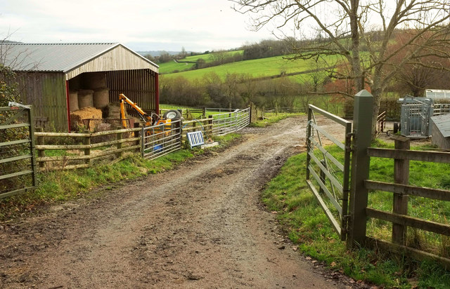
Image: © Derek Harper Taken: 7 Dec 2019
From Hall Lane. In the background is the valley of a headwater of the Lam Brook, crossed nearby by the Cotswold Way.
Images are licensed for reuse under creativecommons.org/licenses/by-sa/2.0
Image Location
Latitude
51.438437
Longitude
-2.386668