Farmhouse at Snow's Green
Introduction
The photograph on this page of Farmhouse at Snow's Green by Robert Graham as part of the Geograph project.
The Geograph project started in 2005 with the aim of publishing, organising and preserving representative images for every square kilometre of Great Britain, Ireland and the Isle of Man.

There are currently over 7.5m images from over 14,400 individuals and you can help contribute to the project by visiting https://www.geograph.org.uk
Farmhouse at Snow's Green
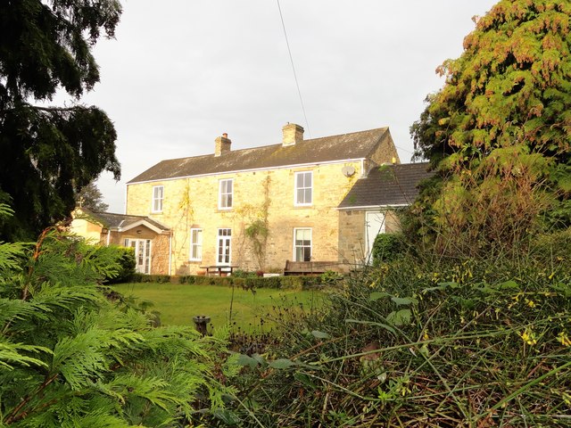
Image: © Robert Graham Taken: 25 Nov 2019
Front elevation of the nice old 19th century farmhouse here. Snow's Green was originally a farming hamlet, until Shotley Bridge expanded and absorbed it.
Images are licensed for reuse under creativecommons.org/licenses/by-sa/2.0
Image Location
Latitude
54.874464
Longitude
-1.850678