Green house, Varteg Road, Varteg
Introduction
The photograph on this page of Green house, Varteg Road, Varteg by Jaggery as part of the Geograph project.
The Geograph project started in 2005 with the aim of publishing, organising and preserving representative images for every square kilometre of Great Britain, Ireland and the Isle of Man.

There are currently over 7.5m images from over 14,400 individuals and you can help contribute to the project by visiting https://www.geograph.org.uk
Green house, Varteg Road, Varteg
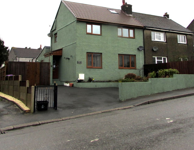
Image: © Jaggery Taken: 12 Dec 2019
This house alongside the B4246 Varteg Road is northeast of the Balance Road junction.
Images are licensed for reuse under creativecommons.org/licenses/by-sa/2.0
Image Location
Latitude
51.740088
Longitude
-3.069925