Pasture at Woolley
Introduction
The photograph on this page of Pasture at Woolley by Derek Harper as part of the Geograph project.
The Geograph project started in 2005 with the aim of publishing, organising and preserving representative images for every square kilometre of Great Britain, Ireland and the Isle of Man.

There are currently over 7.5m images from over 14,400 individuals and you can help contribute to the project by visiting https://www.geograph.org.uk
Pasture at Woolley
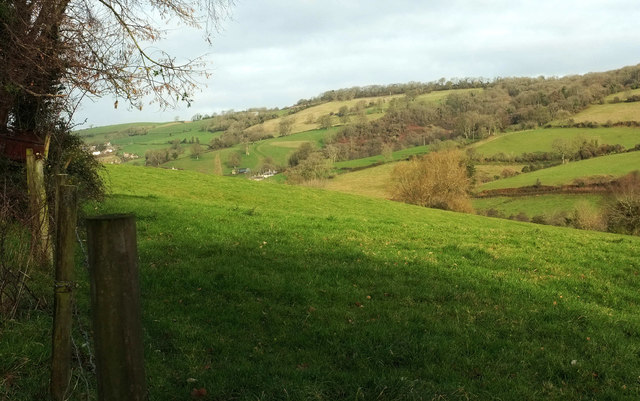
Image: © Derek Harper Taken: 7 Dec 2019
Looking left from Image], with overlap. Descending the far side of the Lam Brook valley is Ashcombe Wood, with the listed Ashcombe House https://historicengland.org.uk/listing/the-list/list-entry/1277001 at the lower tip. Further up the valley on the left is the hamlet of Tadwick.
Images are licensed for reuse under creativecommons.org/licenses/by-sa/2.0
Image Location
Latitude
51.415851
Longitude
-2.363758