Former Wesleyan chapel, Monk Fryston
Introduction
The photograph on this page of Former Wesleyan chapel, Monk Fryston by Alan Murray-Rust as part of the Geograph project.
The Geograph project started in 2005 with the aim of publishing, organising and preserving representative images for every square kilometre of Great Britain, Ireland and the Isle of Man.

There are currently over 7.5m images from over 14,400 individuals and you can help contribute to the project by visiting https://www.geograph.org.uk
Former Wesleyan chapel, Monk Fryston
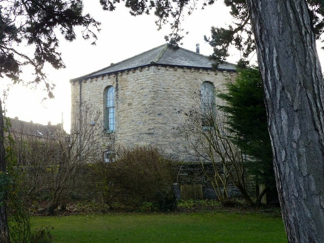
Image: © Alan Murray-Rust Taken: 8 Dec 2019
The unusual angular apse at the northern end of the building. Built 1845, Listed Grade II.
Images are licensed for reuse under creativecommons.org/licenses/by-sa/2.0
Image Location
Latitude
53.761197
Longitude
-1.232581