Dry stone wall
Introduction
The photograph on this page of Dry stone wall by Robert Graham as part of the Geograph project.
The Geograph project started in 2005 with the aim of publishing, organising and preserving representative images for every square kilometre of Great Britain, Ireland and the Isle of Man.

There are currently over 7.5m images from over 14,400 individuals and you can help contribute to the project by visiting https://www.geograph.org.uk
Dry stone wall
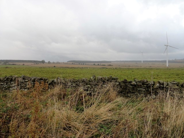
Image: © Robert Graham Taken: 4 Nov 2019
This runs along Boundary Lane and was probably first built in the early 19th century after the commons enclosure of 1808.
Images are licensed for reuse under creativecommons.org/licenses/by-sa/2.0
Image Location
Latitude
54.892929
Longitude
-1.890834