Fields and plantations south of Boundary Lane
Introduction
The photograph on this page of Fields and plantations south of Boundary Lane by Robert Graham as part of the Geograph project.
The Geograph project started in 2005 with the aim of publishing, organising and preserving representative images for every square kilometre of Great Britain, Ireland and the Isle of Man.

There are currently over 7.5m images from over 14,400 individuals and you can help contribute to the project by visiting https://www.geograph.org.uk
Fields and plantations south of Boundary Lane
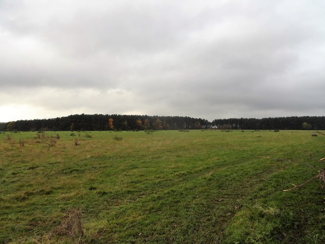
Image: © Robert Graham Taken: 4 Nov 2019
This country lane runs west from Newlands through quite empty farming country. Most of the land is pastures or conifer plantations.
Images are licensed for reuse under creativecommons.org/licenses/by-sa/2.0
Image Location
Latitude
54.890857
Longitude
-1.885227