Saville Row, Hayes
Introduction
The photograph on this page of Saville Row, Hayes by Richard Vince as part of the Geograph project.
The Geograph project started in 2005 with the aim of publishing, organising and preserving representative images for every square kilometre of Great Britain, Ireland and the Isle of Man.

There are currently over 7.5m images from over 14,400 individuals and you can help contribute to the project by visiting https://www.geograph.org.uk
Saville Row, Hayes
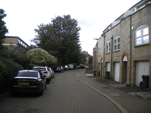
Image: © Richard Vince Taken: 28 Sep 2019
Alongside the railway station off Bourne Road, this relatively recent housing development appears to have been built on the site of the goods yard.
Images are licensed for reuse under creativecommons.org/licenses/by-sa/2.0
Image Location
Latitude
51.376274
Longitude
0.008686