Gwinear-Gwithian : The B3301
Introduction
The photograph on this page of Gwinear-Gwithian : The B3301 by Lewis Clarke as part of the Geograph project.
The Geograph project started in 2005 with the aim of publishing, organising and preserving representative images for every square kilometre of Great Britain, Ireland and the Isle of Man.

There are currently over 7.5m images from over 14,400 individuals and you can help contribute to the project by visiting https://www.geograph.org.uk
Gwinear-Gwithian : The B3301
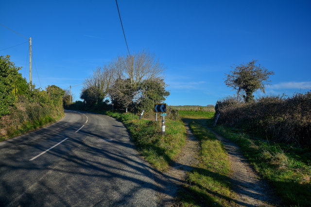
Image: © Lewis Clarke Taken: 2 Dec 2019
A road heading off to the left and a field with a right of way on the right.
Images are licensed for reuse under creativecommons.org/licenses/by-sa/2.0
Image Location
Latitude
50.210438
Longitude
-5.389092