Up St James Field, Pontypool
Introduction
The photograph on this page of Up St James Field, Pontypool by Jaggery as part of the Geograph project.
The Geograph project started in 2005 with the aim of publishing, organising and preserving representative images for every square kilometre of Great Britain, Ireland and the Isle of Man.

There are currently over 7.5m images from over 14,400 individuals and you can help contribute to the project by visiting https://www.geograph.org.uk
Up St James Field, Pontypool
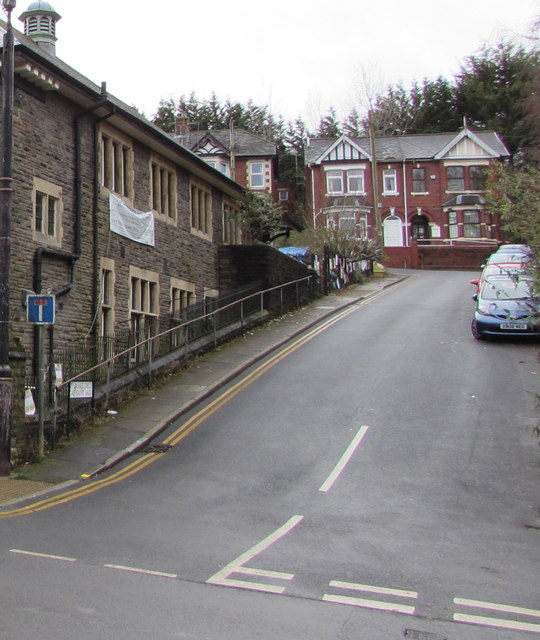
Image: © Jaggery Taken: 5 Dec 2019
The road named St James Field in English is Cae Sant Iago in Welsh. St James Hall https://www.geograph.org.uk/photo/6336953 is on the left.
Images are licensed for reuse under creativecommons.org/licenses/by-sa/2.0
Image Location
Latitude
51.700706
Longitude
-3.039765