Lower southern slope of Low Fell
Introduction
The photograph on this page of Lower southern slope of Low Fell by Trevor Littlewood as part of the Geograph project.
The Geograph project started in 2005 with the aim of publishing, organising and preserving representative images for every square kilometre of Great Britain, Ireland and the Isle of Man.

There are currently over 7.5m images from over 14,400 individuals and you can help contribute to the project by visiting https://www.geograph.org.uk
Lower southern slope of Low Fell
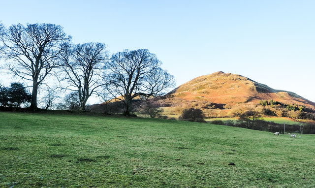
Image: © Trevor Littlewood Taken: 1 Dec 2019
Low Fell is part of the upland area on the west side of the Lorton Vale. It comprises a series of knolls one of which, (not the highest), is above the slope in the image.
Images are licensed for reuse under creativecommons.org/licenses/by-sa/2.0
Image Location
Latitude
54.584372
Longitude
-3.336074