Looking north along the B1263
Introduction
The photograph on this page of Looking north along the B1263 by Gordon Hatton as part of the Geograph project.
The Geograph project started in 2005 with the aim of publishing, organising and preserving representative images for every square kilometre of Great Britain, Ireland and the Isle of Man.

There are currently over 7.5m images from over 14,400 individuals and you can help contribute to the project by visiting https://www.geograph.org.uk
Looking north along the B1263
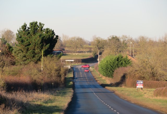
Image: © Gordon Hatton Taken: 3 Dec 2019
The B1263 forms part of a link between Richmond and Yarm and crosses the northernmost reaches of the Vale of Mowbray. Seen here close to North Cowton.
Images are licensed for reuse under creativecommons.org/licenses/by-sa/2.0
Image Location
Latitude
54.424328
Longitude
-1.558864