Rufford Abbey Mill ? sluices
Introduction
The photograph on this page of Rufford Abbey Mill ? sluices by Alan Murray-Rust as part of the Geograph project.
The Geograph project started in 2005 with the aim of publishing, organising and preserving representative images for every square kilometre of Great Britain, Ireland and the Isle of Man.

There are currently over 7.5m images from over 14,400 individuals and you can help contribute to the project by visiting https://www.geograph.org.uk
Rufford Abbey Mill ? sluices
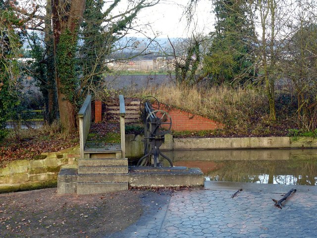
Image: © Alan Murray-Rust Taken: 1 Dec 2019
These would be adjusted to make sure water levels in the lake were adequate for operation of the mill.
Images are licensed for reuse under creativecommons.org/licenses/by-sa/2.0
Image Location
Latitude
53.183378
Longitude
-1.031486