Path towards Powys County Council offices, Brecon
Introduction
The photograph on this page of Path towards Powys County Council offices, Brecon by Jaggery as part of the Geograph project.
The Geograph project started in 2005 with the aim of publishing, organising and preserving representative images for every square kilometre of Great Britain, Ireland and the Isle of Man.

There are currently over 7.5m images from over 14,400 individuals and you can help contribute to the project by visiting https://www.geograph.org.uk
Path towards Powys County Council offices, Brecon
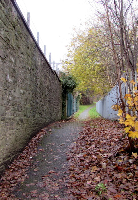
Image: © Jaggery Taken: 24 Nov 2019
Ascending from the B4601 Watton past the perimeter wall at the eastern edge of Brecon Barracks.
Images are licensed for reuse under creativecommons.org/licenses/by-sa/2.0
Image Location
Latitude
51.943459
Longitude
-3.381879