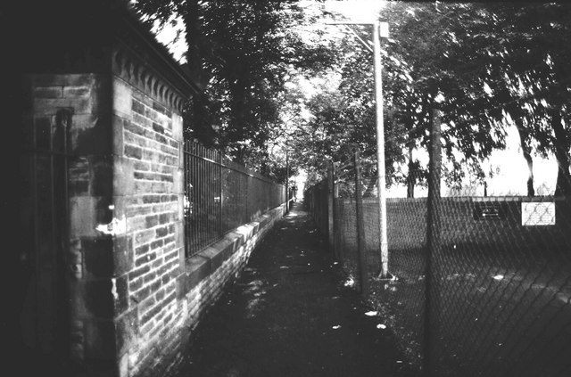
Public footpath, Demesne Road to Princess Road, Whalley Range/Moss Side
Introduction
The photograph on this page of Public footpath, Demesne Road to Princess Road, Whalley Range/Moss Side by Tom Jolliffe as part of the Geograph project.
The Geograph project started in 2005 with the aim of publishing, organising and preserving representative images for every square kilometre of Great Britain, Ireland and the Isle of Man.
There are currently over 7.5m images from over 14,400 individuals and you can help contribute to the project by visiting https://www.geograph.org.uk

Image: © Tom Jolliffe Taken: Unknown
This footpath which joins Demesne Road to Princess Road and runs alongside Alexandra Park was under threat of closure in the earlier part of the 20th century. Local people fought a campaign to keep the footpath open and were successful. Had it been closed, a major detour to the south or to the north would have been needed for pedestrians when the park was locked up for the night. The grounds to the right were owned by the YMCA in the second half of the 20th century which had a major building nearby.

