Above The Goggin
Introduction
The photograph on this page of Above The Goggin by Richard Webb as part of the Geograph project.
The Geograph project started in 2005 with the aim of publishing, organising and preserving representative images for every square kilometre of Great Britain, Ireland and the Isle of Man.

There are currently over 7.5m images from over 14,400 individuals and you can help contribute to the project by visiting https://www.geograph.org.uk
Above The Goggin
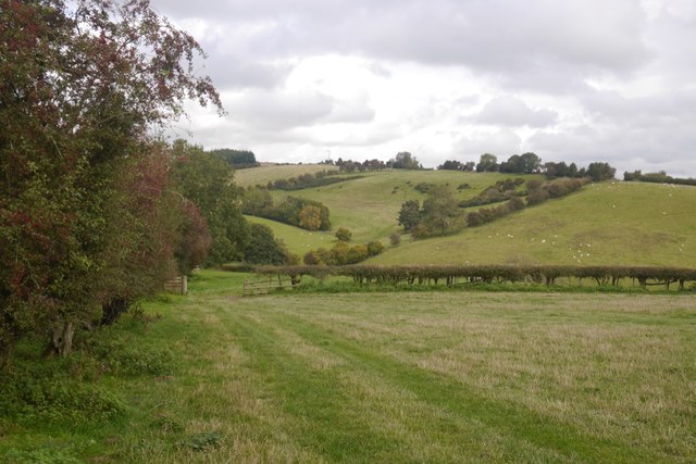
Image: © Richard Webb Taken: 17 Oct 2019
The limestone ridge that runs from Severn to Wye straightens out again after the twists and turns of the Ludlow Anticlyne. View over the pass at the head of The Goggin to the back if The Vallets. The ridge continues in this direction to the High Vinnalls.
Images are licensed for reuse under creativecommons.org/licenses/by-sa/2.0
Image Location


Leaflet Map data © OpenStreetMap
Latitude
52.328547
Longitude
-2.783981