Hermitage Bridge
Introduction
The photograph on this page of Hermitage Bridge by Stephen McKay as part of the Geograph project.
The Geograph project started in 2005 with the aim of publishing, organising and preserving representative images for every square kilometre of Great Britain, Ireland and the Isle of Man.

There are currently over 7.5m images from over 14,400 individuals and you can help contribute to the project by visiting https://www.geograph.org.uk
Hermitage Bridge
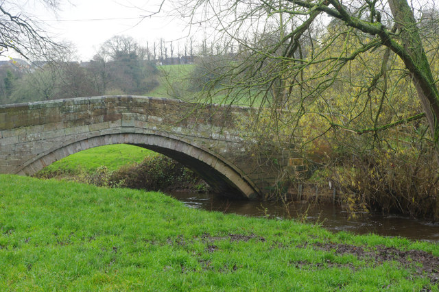
Image: © Stephen McKay Taken: 27 Nov 2019
Hermitage Bridge carries a track leading north from Holmes Chapel over the River Dane. The date 1772 is carved on the parapet and the bridge is grade II listed.
Images are licensed for reuse under creativecommons.org/licenses/by-sa/2.0
Image Location
Latitude
53.207106
Longitude
-2.352255