Junction, Chew Stoke
Introduction
The photograph on this page of Junction, Chew Stoke by Derek Harper as part of the Geograph project.
The Geograph project started in 2005 with the aim of publishing, organising and preserving representative images for every square kilometre of Great Britain, Ireland and the Isle of Man.

There are currently over 7.5m images from over 14,400 individuals and you can help contribute to the project by visiting https://www.geograph.org.uk
Junction, Chew Stoke
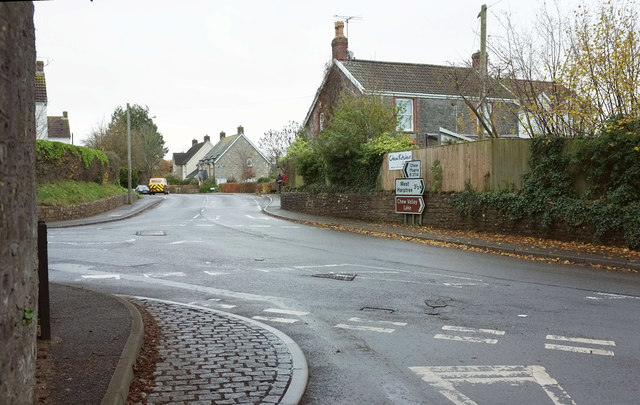
Image: © Derek Harper Taken: 25 Nov 2019
A crossroads at the north end of the village. To left and straight ahead is the B3114. The village centre is to the right; behind the camera is Pilgrims Way, towards the church.
Images are licensed for reuse under creativecommons.org/licenses/by-sa/2.0
Image Location
Latitude
51.355729
Longitude
-2.631401