St David's Church information board, Moreton-in-Marsh
Introduction
The photograph on this page of St David's Church information board, Moreton-in-Marsh by Jaggery as part of the Geograph project.
The Geograph project started in 2005 with the aim of publishing, organising and preserving representative images for every square kilometre of Great Britain, Ireland and the Isle of Man.

There are currently over 7.5m images from over 14,400 individuals and you can help contribute to the project by visiting https://www.geograph.org.uk
St David's Church information board, Moreton-in-Marsh
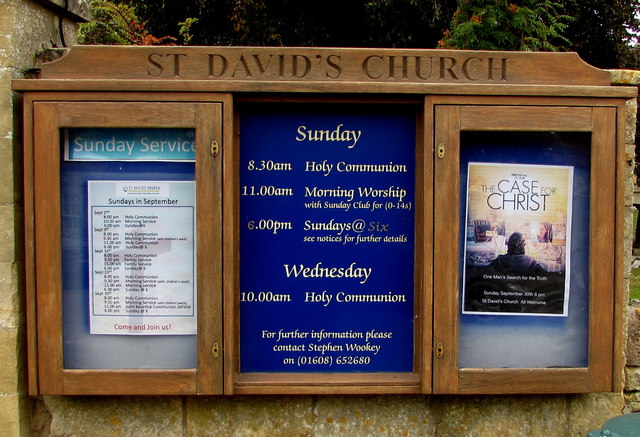
Image: © Jaggery Taken: 18 Sep 2018
Facing Church Street at the entrance to this https://www.geograph.org.uk/photo/6331290 church viewed in September 2018.
Images are licensed for reuse under creativecommons.org/licenses/by-sa/2.0
Image Location
Latitude
51.987787
Longitude
-1.701721