Poltross Burn, Gilsland
Introduction
The photograph on this page of Poltross Burn, Gilsland by Mike Quinn as part of the Geograph project.
The Geograph project started in 2005 with the aim of publishing, organising and preserving representative images for every square kilometre of Great Britain, Ireland and the Isle of Man.

There are currently over 7.5m images from over 14,400 individuals and you can help contribute to the project by visiting https://www.geograph.org.uk
Poltross Burn, Gilsland
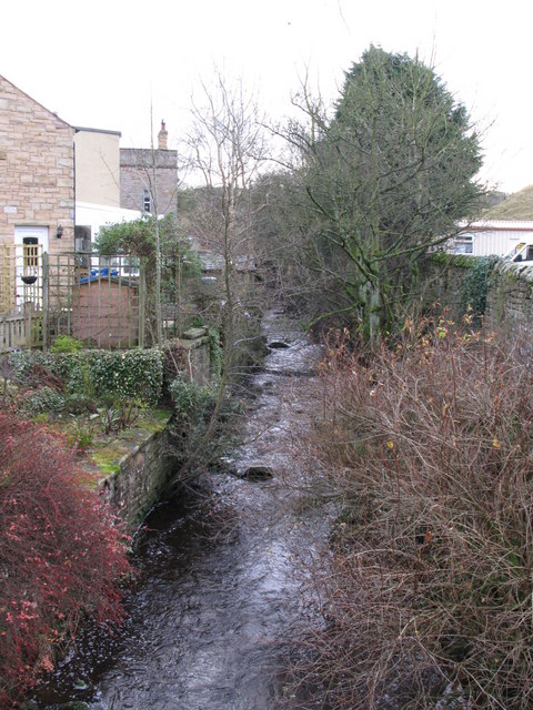
Image: © Mike Quinn Taken: 7 Dec 2007
The Cumbria/Northumberland county boundary leaves the River Irthing (to the north, behind the photographer) and runs along Poltross Burn southwestwards towards the A69 in Image
Images are licensed for reuse under creativecommons.org/licenses/by-sa/2.0
Image Location
Latitude
54.990655
Longitude
-2.57323