Canal House, Llangattock
Introduction
The photograph on this page of Canal House, Llangattock by John Winder as part of the Geograph project.
The Geograph project started in 2005 with the aim of publishing, organising and preserving representative images for every square kilometre of Great Britain, Ireland and the Isle of Man.

There are currently over 7.5m images from over 14,400 individuals and you can help contribute to the project by visiting https://www.geograph.org.uk
Canal House, Llangattock
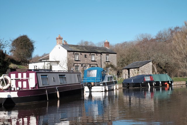
Image: © John Winder Taken: 25 Mar 2019
Built in 1840. There are some limekilns nearby, but whether the house was originally linked to their presence I don't know. It's a very picturesque spot now though.
Images are licensed for reuse under creativecommons.org/licenses/by-sa/2.0
Image Location
Latitude
51.848805
Longitude
-3.154237