Lansdown Terrace Lane
Introduction
The photograph on this page of Lansdown Terrace Lane by Philip Halling as part of the Geograph project.
The Geograph project started in 2005 with the aim of publishing, organising and preserving representative images for every square kilometre of Great Britain, Ireland and the Isle of Man.

There are currently over 7.5m images from over 14,400 individuals and you can help contribute to the project by visiting https://www.geograph.org.uk
Lansdown Terrace Lane
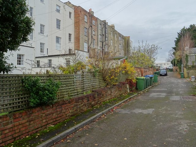
Image: © Philip Halling Taken: 19 Nov 2019
Lansdown Terrace Lane provides access to the rear of Lansdown Terrace, the backs of which can be seen on the left. The lane also gives access the houses which formerly were mews.
Images are licensed for reuse under creativecommons.org/licenses/by-sa/2.0
Image Location
Latitude
51.897145
Longitude
-2.086714