Crossroads
Introduction
The photograph on this page of Crossroads by Adrian S Pye as part of the Geograph project.
The Geograph project started in 2005 with the aim of publishing, organising and preserving representative images for every square kilometre of Great Britain, Ireland and the Isle of Man.

There are currently over 7.5m images from over 14,400 individuals and you can help contribute to the project by visiting https://www.geograph.org.uk
Crossroads
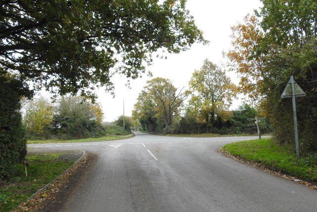
Image: © Adrian S Pye Taken: 21 Nov 2019
Nayland Road on the right and London Road on the left and very poor visibility either way.
Images are licensed for reuse under creativecommons.org/licenses/by-sa/2.0
Image Location
Latitude
51.931324
Longitude
0.851796